Most tech companies test new features for months, sometimes years, before pulling them if something goes wrong. Google built and killed this one in under 24 hours, and the speed of that reversal says almost as much as the feature itself did.
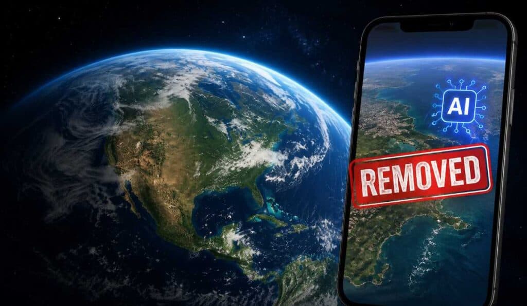
On July 30, Google rolled out a “create image” button inside Google Earth’s web version, powered by its Nano Banana 2 image model. Users could zoom into any real location on the map, type a prompt, and get back a photorealistic image generated directly onto Google’s actual satellite and aerial imagery of that spot. By July 31, it was gone.
What Made This Different From a Normal AI Image Tool
AI image generators that make fictional art aren’t new, and mostly aren’t controversial. This was something else. Because the tool was layered directly onto real, verified satellite imagery of actual coordinates, inside the exact interface millions of people already trust as a source of truth about the physical world, the fake images it produced carried a kind of credibility a random AI-generated picture never would.
Researchers have started calling this category “grounded deepfakes,” fabricated imagery anchored to a real, identifiable place rather than floating free as obviously fictional art. That distinction turned out to matter enormously once people started testing what the tool would actually generate.
What People Actually Made With It
Within hours of launch, people were sharing fabricated satellite images of events that never happened at real locations: an explosion in Paris, a fire at a nuclear site in Iran, a blast crater in Los Angeles, a flooded US Capitol complex, tanks in Kyiv, a collapsed Eiffel Tower. Open-source investigators specifically tested whether the tool would refuse ethically fraught prompts, fabricated refugee scenes near the US-Mexico border, fake damage near a hospital in Gaza, and found it largely didn’t push back.
Google had built in a safeguard called SynthID, an invisible digital watermark meant to flag content as AI-generated when checked through Google’s own tools. The problem, as multiple testers demonstrated, is that a watermark identifies a fake after the fact. It doesn’t stop someone from generating the fake image in the first place, and it does nothing at all once a screenshot gets stripped of its metadata and shared elsewhere, which is exactly what happened almost immediately.
Google’s Response
Google acknowledged the severity fairly directly in its rollback announcement, saying people had been sharing generated images that appeared to violate its policies, and that the feature was being paused while the company builds stronger safeguards. The company also noted the generated images hadn’t appeared in the main Google Earth experience for other users, meaning the fabricated content was primarily being screenshotted and shared elsewhere rather than corrupting Google Earth’s core map data directly.
That distinction matters, but it’s a narrow comfort. The damage here was never really about Google Earth’s underlying database. It was about what a screenshot claiming to be “satellite imagery from Google Earth” can now be assumed to mean, or fail to mean, for anyone who’s ever cited one as evidence.
Why This Is Bigger Than One Product Rollback
Satellite imagery has functioned for decades as a uniquely trusted category of visual evidence, used by journalists, human rights investigators, and open-source researchers specifically because it was extremely difficult to fake convincingly. Ross Burley of the Centre for Information Resilience described that trust as something built over decades that could be seriously damaged in a single day.
There’s a specific term researchers use for the deeper risk here: the “liar’s dividend.” It’s not just that fake images can deceive people, it’s that once convincing fakes are known to exist in a category, genuine, authentic evidence from that same category becomes easier for bad actors to dismiss as fabricated too. A real satellite image of an actual event becomes deniable simply because fake ones are now known to be possible and easy to produce.
What Happens From Here
Google says the feature is paused, not cancelled, and that it plans to reintroduce it once stronger guardrails are in place. No timeline has been given.
The bigger, unresolved tension is one a lot of tech companies are going to keep running into as they race to bolt generative AI onto products that were never built with this kind of risk in mind. A photo-sharing app or a creative art tool can absorb an AI image generator without much consequence, because nobody assumes a picture from those apps is documentary evidence of anything. Mapping tools, satellite imagery platforms, and similar high-trust infrastructure are a fundamentally different category. The entire value of those products rests on people being able to assume what they’re looking at is real. Once that assumption breaks, even briefly, the fix isn’t just turning the feature back off. It’s rebuilding a level of trust that took decades to establish in the first place.